توضیحات
ارسال کتاب های زبان اصلی در بازه ۷ الی ۱۰ روزه انجام میشود.
--------------------------------------------------------------------------------------
https://www.amazon.com/QGIS-Python-Programming-Cookbook-Lawhead/dp/۱۷۸۳۹۸۴۹۸۸
====================================================================
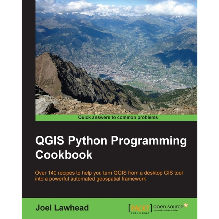
QGIS Python Programming Cookbook
by Joel Lawhead (Author)
About the Author
Joel Lawhead is a PMI-certified Project Management Professional (PMP) and the Chief Information Officer (CIO) of NVisionSolutions Inc., an award-winning firm that specializes in geospatial technology integration and sensor engineering. Joel began using Python in ۱۹۹۷ and began combining it with geospatial software development in ۲۰۰۰. He is the author of Learning Geospatial Analysis with Python, Packt Publishing. His Python cookbook recipes were featured in two editions of Python Cookbook, O’Reilly Media. He is also the developer of the widely used, open source Python Shapefile Library (PyShp) and maintains the geospatial technical blog GeospatialPython.com and the Twitter feed @SpatialPython, which discuss the use of the Python programming language within the geospatial industry.
In ۲۰۱۱, Joel reverse engineered and published the undocumented shapefile spatial indexing format and assisted fellow geospatial Python developer, Marc Pfister, in reversing the algorithm used, allowing developers around the world to create better-integrated and more robust geospatial applications involving shapefiles. Joel served as the lead architect, project manager, and co-developer for geospatial applications used by US government agencies, including NASA, FEMA, NOAA, the US Navy, and many other commercial and non-profit organizations. In ۲۰۰۲, he received the international Esri Special Achievement in GIS award for his work on the Real-Time Emergency Action Coordination Tool (REACT), for emergency management using geospatial analysis.


 افزودن به سبد خرید


